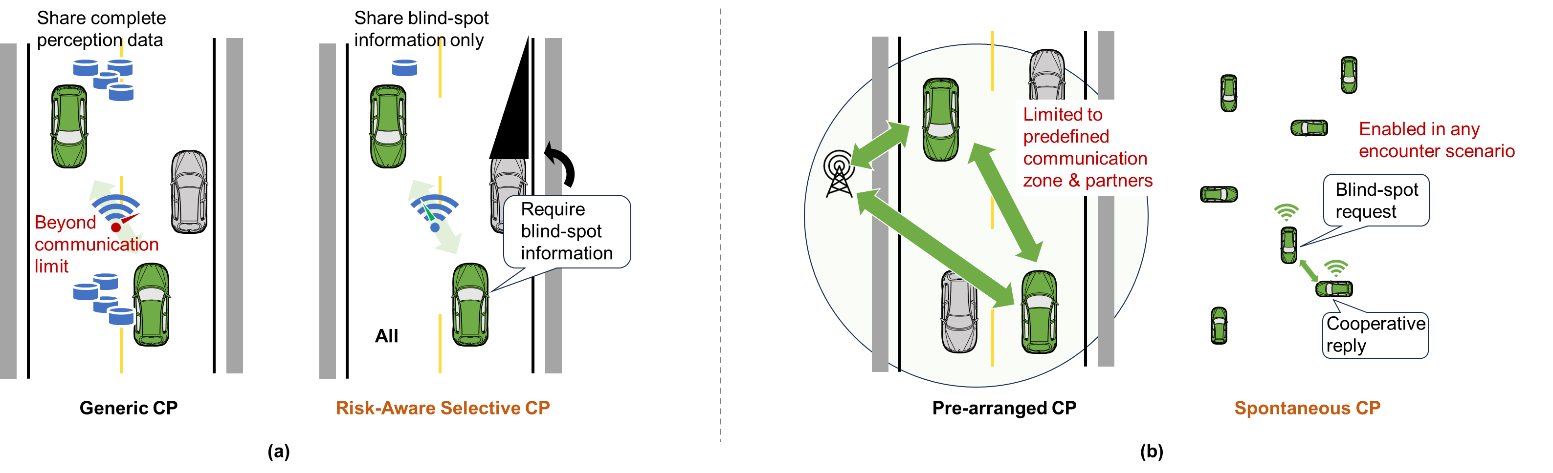
Identifying safety-relevant blind spots and deciding when, with whom, and what to share.
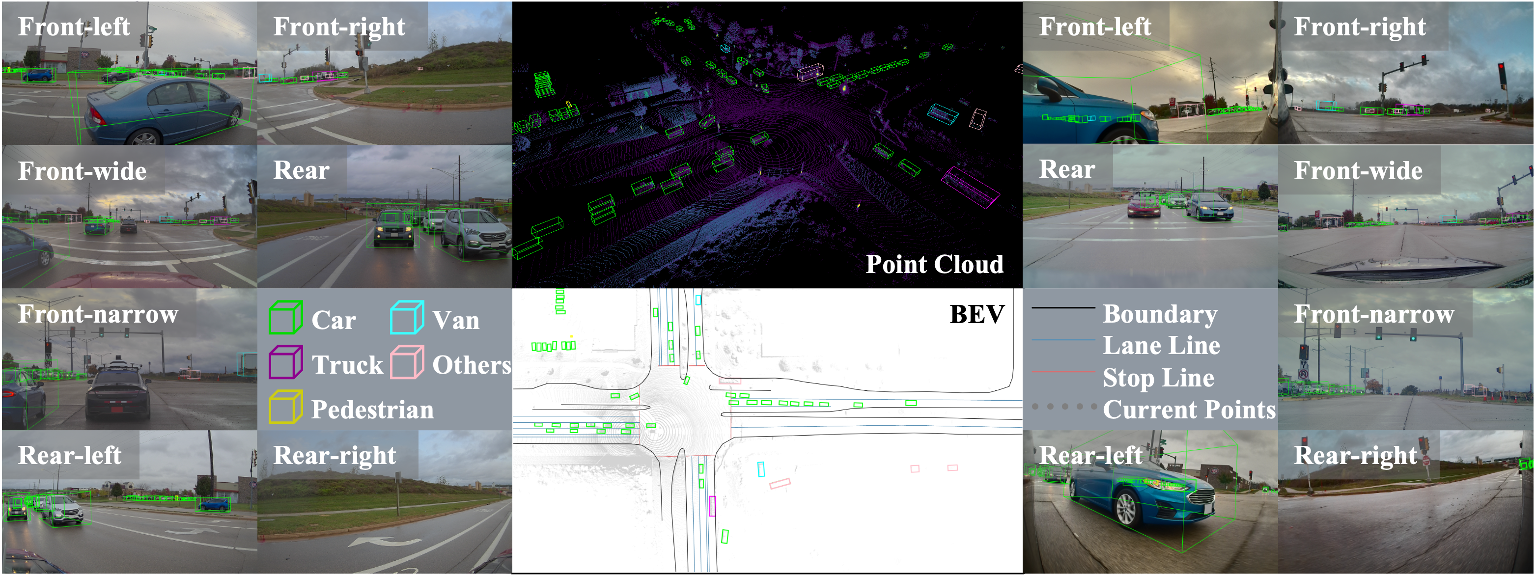
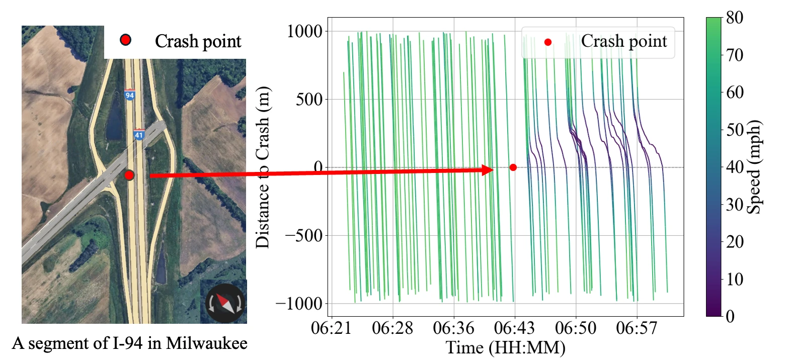
Examples:SRA-CP: risk-aware cooperation that selects perception partners and shares safety-relevant information under limited communication bandwidth.CATS-V2V: a real-world cooperative perception dataset covering adverse weather, varied lighting, and complex traffic environments.Collaborative perception review: a review of vehicle-road-cloud collaborative perception architectures, fusion methods, and deployment challenges.
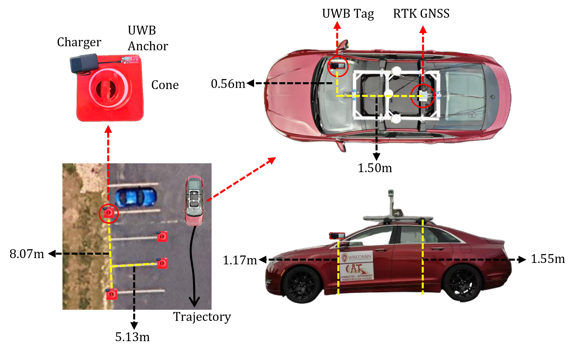
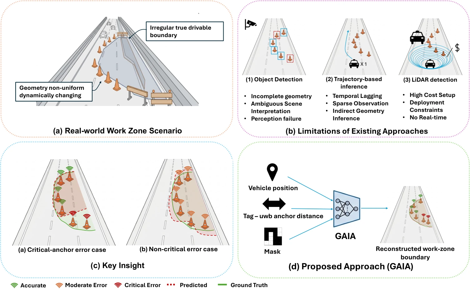
Using roadside infrastructure and UWB measurements to reconstruct work zones and support connected driving.
Examples:V2I work-zone reconstruction: pose-conditioned UWB range denoising for reconstructing work-zone geometry from vehicle-to-infrastructure measurements.GAIA: geometry-aware UWB denoising that couples temporal range modeling with anchor-layout estimation for work-zone reconstruction.
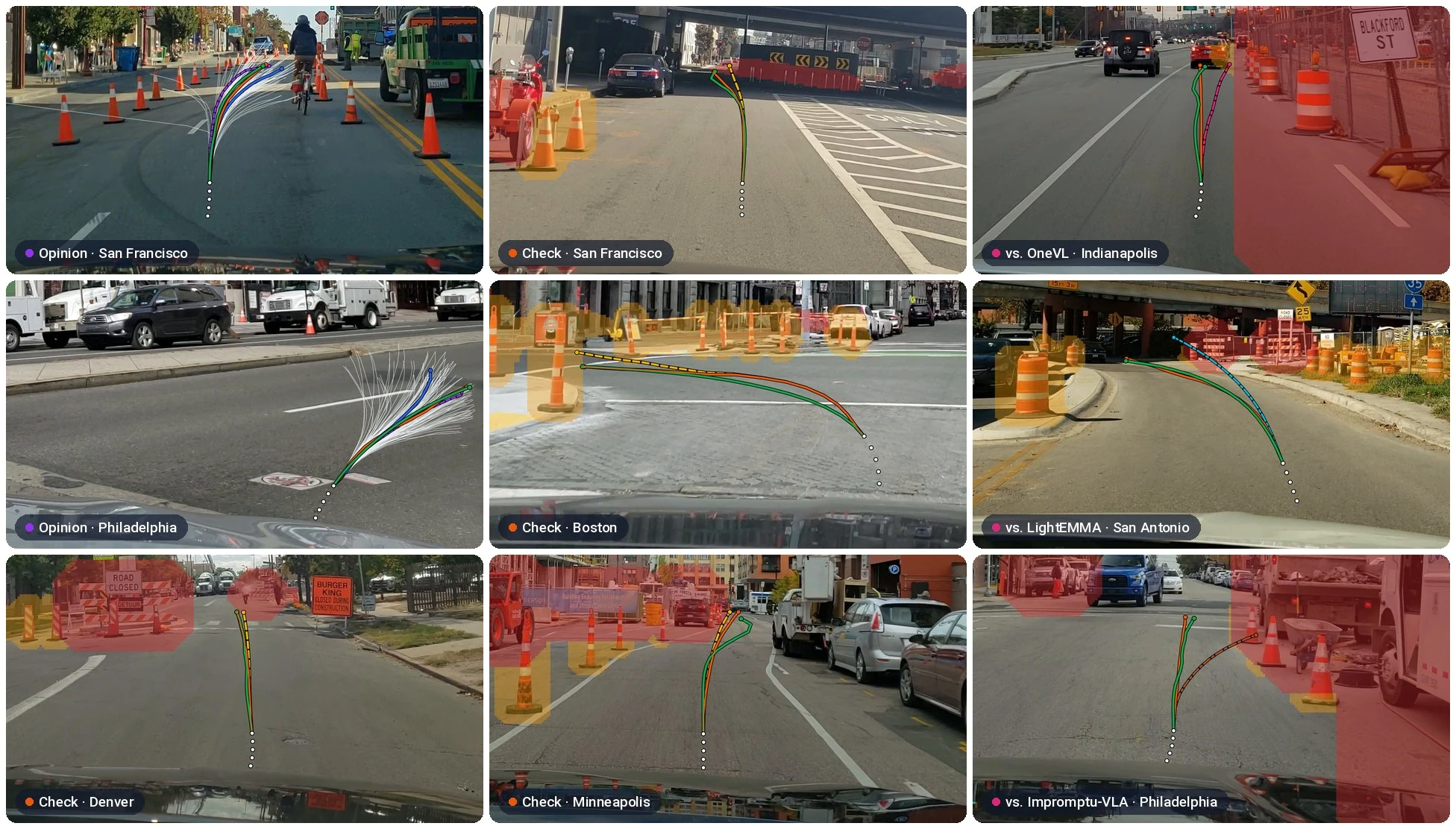
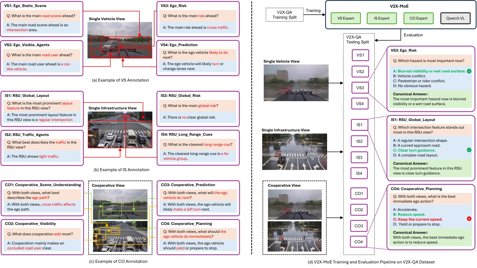
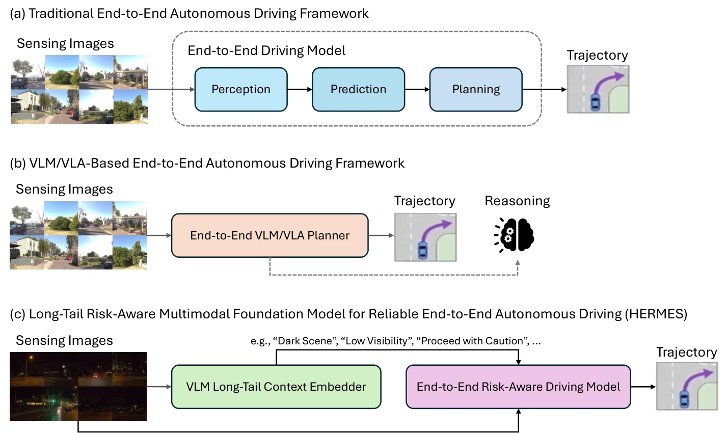
Combining vision-language reasoning with trajectory prediction, planning, and vehicle control.
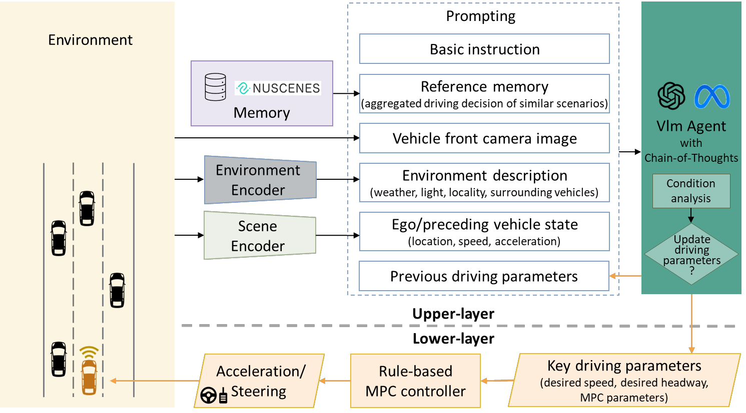
Examples:SAGE: work-zone pathway prediction that re-ranks geometric candidate paths with a vision-language model's trajectory and checks the choice against MUTCD-derived rules.VLM-MPC: a closed-loop driving controller combining vision-language reasoning with model predictive control.HERMES: risk-aware multimodal trajectory planning that incorporates semantic guidance for long-tail driving scenarios.
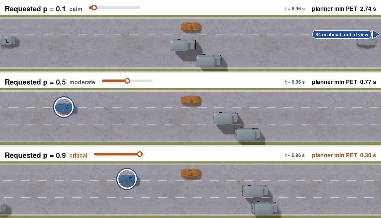
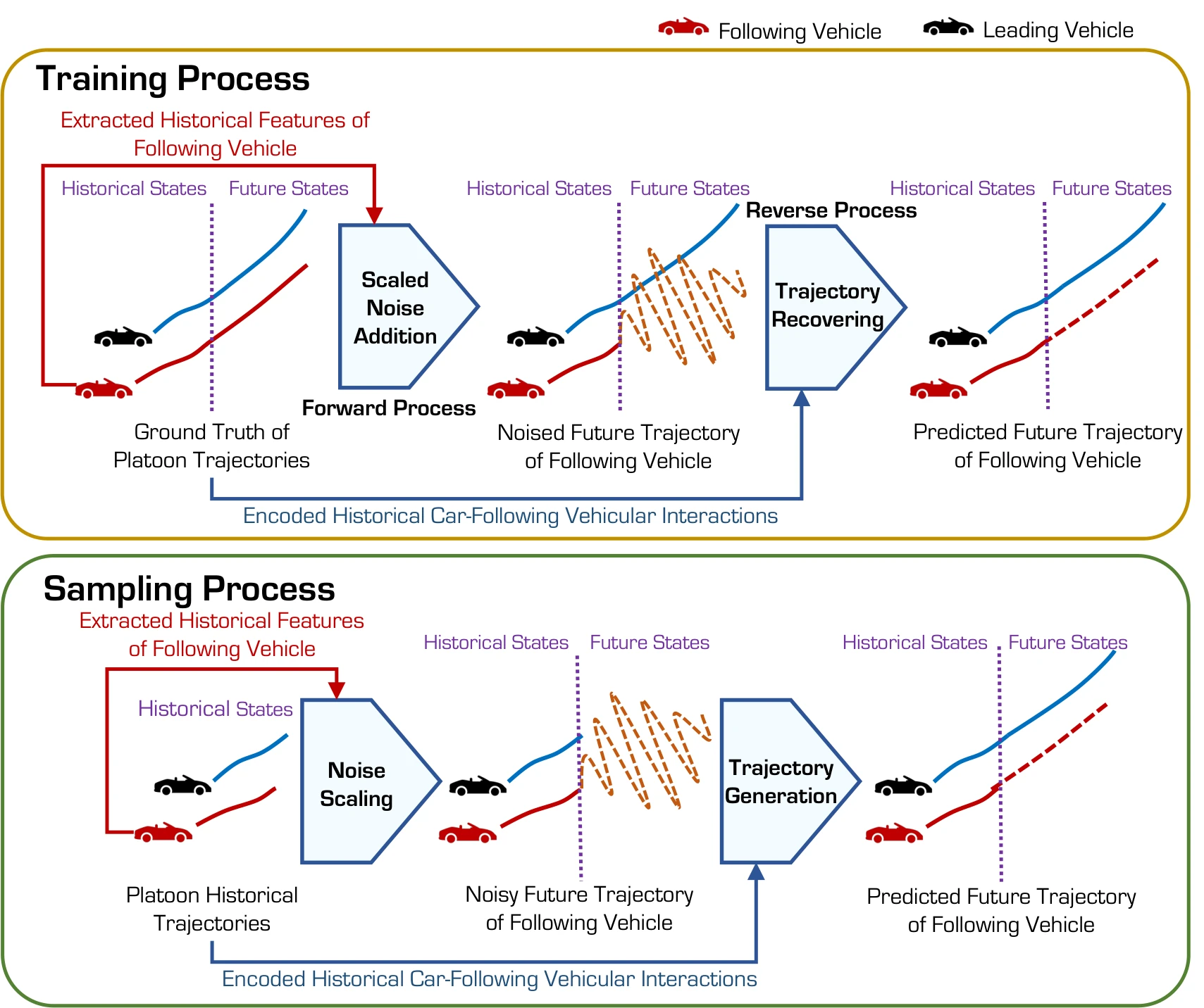
Generating corner-case scenarios whose adversity is set as a percentile of the natural risk in the same traffic context.
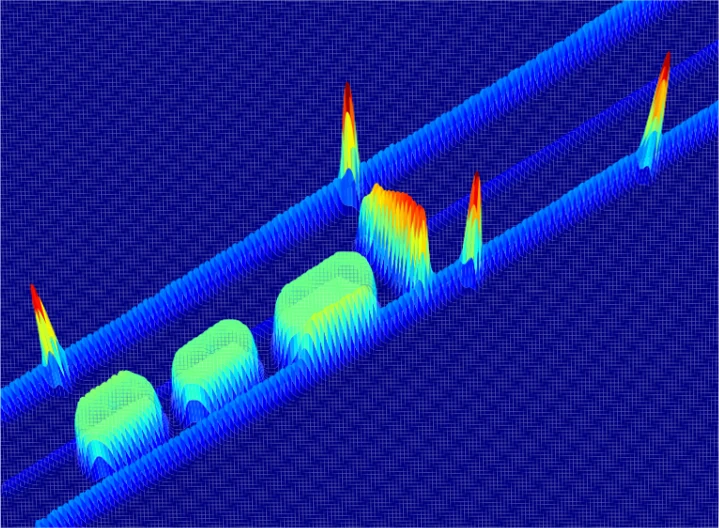
Examples:How corner is a corner case?: percentile-controlled generation of highway corner cases, indexing each scenario's adversity by its risk percentile among the natural futures of the same traffic context.
News & updates
[2026.10] Five papers accepted for presentation at the 2027 TRB Annual Meeting (Washington, D.C., January 2027).
[Fall 2026]CEE 571: Urban Transportation Planning · Teaching Assistant and Guest Lecturer. Transportation Planning Software: an interactive lecture companion with five browser demos set in one hypothetical city, covering the four-step travel demand model, walking access to transit, and zone size.